
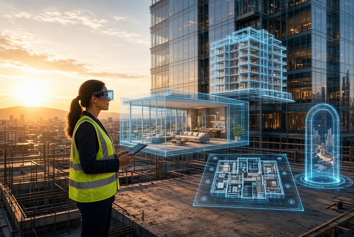



Real estate was the first industry where immersive technology became genuinely routine. Virtual tours stopped being a differentiator and became an expectation, to the point where a listing without one now reads as an oversight rather than a choice. That maturity means the interesting questions have moved on from whether to use the technology to which layer of a fragmented market you are actually buying from.
Four separate businesses hide behind the label. Capture platforms turn existing buildings into navigable digital twins at volume. Visualization studios render buildings that do not exist yet, for developments sold years before completion. Planning and feasibility tools model buildings in the context of the cities around them. And custom studios build the applications that connect this data to how a property is actually operated and sold.
Confusing these produces expensive mistakes, because a platform built to photograph a finished apartment cannot sell a tower that has not broken ground. The companies below cover each layer, with an explanation of which problem they were built for.
XR Development for Real Estate and Property Tech at a Glance
| Company | Best For | Delivery Model |
|---|---|---|
| Treeview | Custom spatial applications and data visualization | Custom development |
| Matterport | Digital twins with the widest market recognition | Platform |
| Giraffe360 | One visit producing a complete listing media kit | Hardware and subscription |
| Polycam | Flexible capture from phones through to point clouds | Software |
| VU.CITY | Accurate city models for planning and feasibility | Platform |
| Igloo Vision | Immersive sales suites without headsets | Hardware and content |
| OpenSpace | Construction progress capture during delivery | Platform |
| Innowise | Custom proptech connected to building systems | Custom development |
Best XR Development Companies for Real Estate and Property Tech
1. Treeview – Digital Twin Data Visualization at Development and City Scale
The capture platforms on this list document what a building looks like. Treeview builds the applications that make a building’s data understandable, which is where property technology is heading as portfolios get instrumented and owners are asked harder questions about performance.
The evidence is specific. The studio built an AI enabled digital twin with Microsoft for a multi billion dollar green hydrogen initiative, visualizing real time and projected output with predictive models simulating future site performance, work recognized with two Silver awards at the 47th Annual Telly Awards. Strip away the sector and that is exactly what an asset owner wants from a building twin: live operational data rendered spatially with forecasting attached, rather than a static model. Treeview also built an augmented reality navigation concept on Magic Leap 2 for NEOM, one of the largest master planned developments in progress anywhere, which is the same wayfinding and spatial information problem that appears in large mixed use estates.
For developers and asset managers the ownership terms matter more than usual. Clients retain full ownership of intellectual property, source code and assets, so an application built for one scheme can be extended across a portfolio without renegotiating. The studio has built spatial computing software since 2016 for Microsoft, Meta, Toyota and Medtronic, and delivers end to end with a senior only team, which suits work tied to a launch or handover date.
- Services and expertise: Custom AR, VR and mixed reality development, digital twin development, spatial data visualization, smart glasses applications, Apple Vision Pro and Meta Quest development, 3D content creation, long term support
- Location: New York, United States and Montevideo, Uruguay
- Portfolio: Microsoft, NEOM, Meta, Toyota, Medtronic, ULTA Beauty, Daiichi Sankyo
2. Matterport – The Digital Twin Category Incumbent
Matterport created the property digital twin category and still carries the recognition that comes with it, which has real commercial value when a vendor is being explained to a client or a board. Its scans produce navigable 3D tours with dimensional measurement, and the product has extended over time into broader documentation and technical output rather than remaining a marketing tool.
The ecosystem depth is the practical argument. Capture works across the company’s own cameras, 360 degree cameras and LiDAR equipped smartphones, and the platform integrates widely across listing and property management workflows. For organizations standardizing across many teams and markets, that maturity reduces friction considerably.
Two things to weigh. Tours are hosted on Matterport’s infrastructure, which creates a dependency worth understanding before building a portfolio on it, and pricing scales with active tour volume rather than with usage, so model the cost against your actual listing turnover rather than against headline rates.
- Services and expertise: 3D digital twin capture, virtual tours with measurement, floor plan generation, web and headset delivery, platform integrations
- Best suited to: Agencies, portfolios and property managers wanting the recognized standard
3. Giraffe360 – One Visit, the Entire Listing Media Kit
Giraffe360 built its business around workflow compression rather than around the tour itself. A robotic camera provided on subscription captures a property once and generates the full package from that single visit: HDR photography, floor plans accurate to within a couple of percent, virtual tours and property websites.
The economic argument is that it removes the photographer from the process. Agents capture their own listings without professional production, which changes both cost per listing and turnaround time, the two constraints that actually govern agency media decisions. The company has raised significant funding on that thesis, including a round led by Founders Fund.
The trade off is a controlled ecosystem. You work within the hardware and software the subscription provides, which is precisely what makes the workflow reliable and also what limits flexibility when a property needs something outside the standard package.
- Services and expertise: Robotic 360 degree capture camera, HDR photography, floor plan generation, virtual tours, property websites, subscription model including hardware
- Best suited to: Estate agencies and brokerages producing listing media at volume in house
4. Polycam – Capture That Adapts to Whatever You Point at It
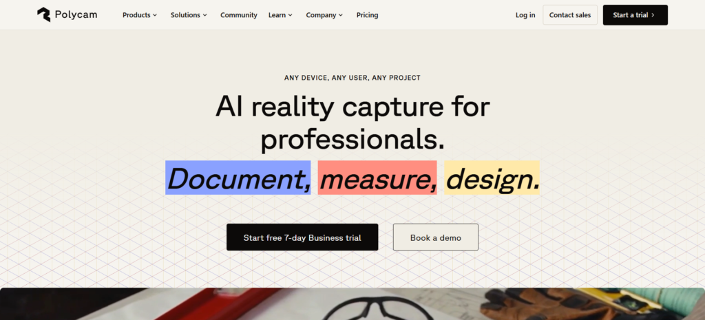
Polycam takes the opposite position to a controlled ecosystem by expanding what counts as valid input. Phone capture, photogrammetry, LiDAR scanning, gaussian splats, point clouds and drone mapping all feed the same toolset, with output usable in workflows adjacent to architecture, engineering and construction.
That flexibility suits organizations whose capture needs vary. A property team documenting a finished apartment, surveying a site, recording an existing building for refurbishment and producing marketing assets are doing four different jobs, and a tool that handles all of them from equipment already in people’s pockets avoids maintaining separate pipelines.
Gaussian splatting deserves attention specifically. It produces markedly more convincing reconstructions of real spaces than traditional photogrammetry, and it is moving quickly, which makes it worth evaluating even by teams currently satisfied with their existing capture approach.
- Services and expertise: Phone and LiDAR capture, photogrammetry, gaussian splats, point clouds, drone mapping, floor plans, AEC adjacent workflows
- Best suited to: Teams with varied capture needs wanting flexibility over a fixed workflow
5. VU.CITY – Buildings Understood in the Context of the City
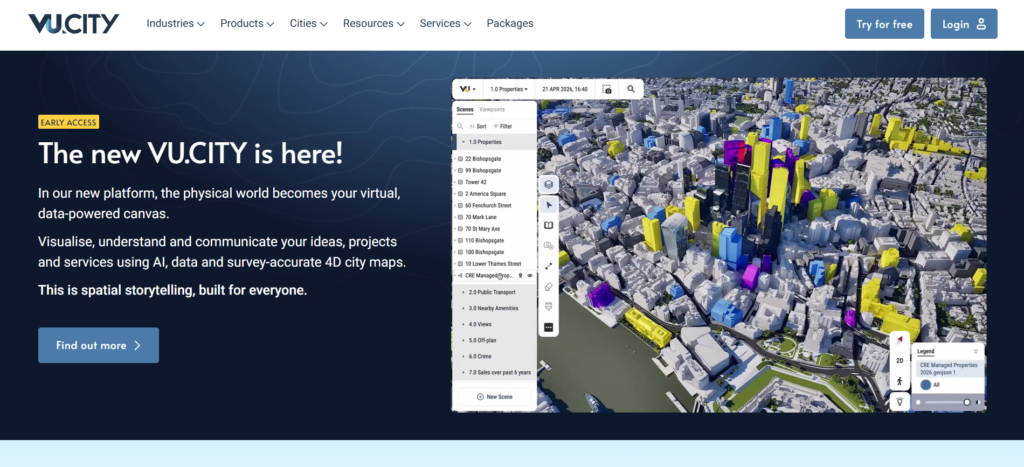
VU.CITY provides accurate three dimensional city models used for planning, feasibility and design assessment, letting developers, planners and architects test a proposal against its real surroundings rather than against an idealized site.
This serves an earlier stage than everything else on this list. Before marketing exists, a scheme has to survive planning, and questions about height, massing, daylight, protected views and neighbouring impact decide whether it proceeds at all. Testing those against a verified city model reduces the risk of designing something that will not be consented.
The same models support consultation and stakeholder engagement, where showing communities what a development will actually look like from their own streets is considerably more persuasive than a plan drawing.
- Services and expertise: Accurate 3D city models, planning and feasibility analysis, daylight and view assessment, consultation and stakeholder visualization
- Best suited to: Developers, planners and architects working through consent and feasibility
6. Igloo Vision – Sales Suites Where Nobody Wears a Headset
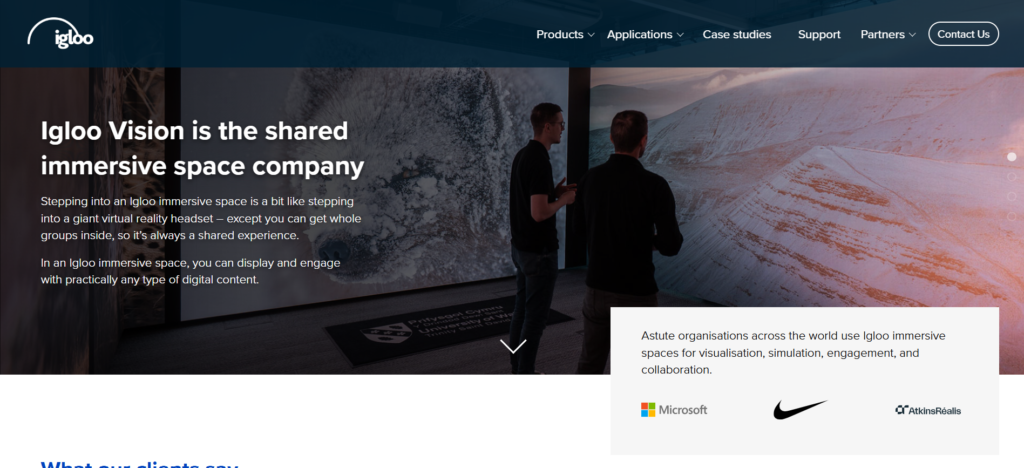
Igloo Vision builds immersive projection environments, rooms with content across every surface, so a group experiences a space together without any equipment on their faces.
For property sales that constraint removal is decisive. A sales appointment often involves a couple, a family or an investor with advisers, and handing out headsets isolates people at exactly the moment they need to discuss a decision with each other. A shared room keeps the conversation intact while still conveying scale and context in a way that a screen cannot.
Sales suites for major developments are the obvious application, along with corporate real estate presentations and marketing centres where staff cannot be expected to manage headset hygiene and fitting between appointments.
- Services and expertise: Immersive projection rooms and domes, shared group experiences, content production, sales suite and presentation installations
- Best suited to: Development marketing suites and corporate real estate presentation spaces
7. OpenSpace – Documenting the Building While It Is Being Built
OpenSpace captures construction progress by processing walkthrough footage into navigable site documentation, producing a dated visual record of a project as it is delivered rather than after completion.
The value for owners and developers is dispute avoidance and verification. Knowing exactly what was behind a wall before it closed, when work was completed and what condition it was in resolves questions that otherwise consume months and legal fees. It also lets remote stakeholders track progress without site visits, which matters for investors and lenders monitoring drawdowns.
The record retains value long after handover, since a facilities team inheriting comprehensive as-built documentation is considerably better placed than one working from drawings that stopped matching reality partway through construction.
- Services and expertise: Construction progress capture, site documentation and navigation, dated visual records, remote project monitoring, as-built documentation
- Best suited to: Developers, contractors and asset owners tracking projects through delivery
8. Innowise – Custom Property Applications Wired Into Building Systems
Innowise is a large software engineering company with a dedicated AR and VR practice, headquartered in Warsaw with offices across Europe and the United States, delivering immersive work alongside custom software development, IoT, big data and cloud engineering.
That combination is what property technology increasingly requires. A building visualization becomes genuinely useful when it connects to occupancy sensors, energy data, maintenance systems and access control, and the immersive layer is usually the smallest part of that engineering. Buying visualization and data integration from separate vendors leaves the connection between them as somebody’s problem.
The team works across marker based and location based AR on iOS, Android and smart glasses, plus VR applications for training and data visualization, which covers both the customer facing and operational sides of a property programme.
- Services and expertise: AR and VR development, IoT and building systems integration, big data and cloud engineering, custom software development, UX and UI design, ongoing support
- Location: Warsaw, Poland, with offices across Europe and the United States
How to Choose an XR Partner for Real Estate and Property Tech
Does the building exist yet?
This single question eliminates most of the market immediately. Existing buildings are captured, and capture platforms are the answer. Unbuilt schemes are modelled, and visualization studios are the answer. The two require entirely different skills, cost structures and timelines, and a vendor strong in one is rarely credible in the other. Developers with both a completed phase and a future phase should expect to engage two suppliers.
Where does the content live and what happens if you leave?
Several capture platforms host tours on their own infrastructure, which means cancelling a subscription can remove access to assets you paid to create. Establish where content is stored, whether it can be exported in a usable format, and what happens to historic tours when you stop paying. For portfolios built over years this is a more consequential question than monthly price.
What is the real cost per property over time?
Property media is a recurring cost, not a project. Model it against your actual listing turnover, refurbishment cycle or phase release schedule rather than against a headline rate. Subscription models bundling hardware favour high volume users, while per project production favours occasional flagship work, and organizations regularly choose the structure that suits the opposite pattern to their own.
Can the assets be reused across the programme?
A development scheme typically funds modelling several times over: once for planning, again for marketing imagery, again for an interactive sales tool, again for a headset experience. Scoping the whole programme with one production pipeline avoids paying repeatedly for the same geometry. Ask explicitly what asset formats you receive and whether another supplier could use them.
Who owns the models and the data?
For custom development and visualization alike, settle ownership of source code, 3D models and captured data before proposals. Asset owners frequently need to extend an application across a portfolio, hand documentation to a facilities team, or move to a different supplier for a later phase, and each becomes an expensive negotiation when the vendor retained rights.
Conclusion
Property is the most mature market for immersive technology and consequently the most segmented, with capture platforms, visualization studios, planning tools and custom developers solving problems that only appear related from the outside. The buying decision starts with whether the building exists, continues through who owns the resulting assets, and ends with whether the content can be reused across a programme rather than recommissioned at every stage. Treeview is the strongest choice for the layer that is growing fastest and is least well served by products, which is making building and portfolio data understandable spatially, with an award winning AI enabled digital twin built for Microsoft demonstrating exactly that capability and full transfer of intellectual property and source code so an application built for one scheme extends across the rest. Whichever combination fits, confirm where your assets live, model the recurring cost honestly, and scope the 3D production once for the whole programme instead of paying for it in pieces.
If you want to add your company to this list, drop us a line or submit a form in the Top Choices section. After a thorough review, we’ll decide whether it’s an appropriate addition.